
Land Survey Companies for a Community Housing Project
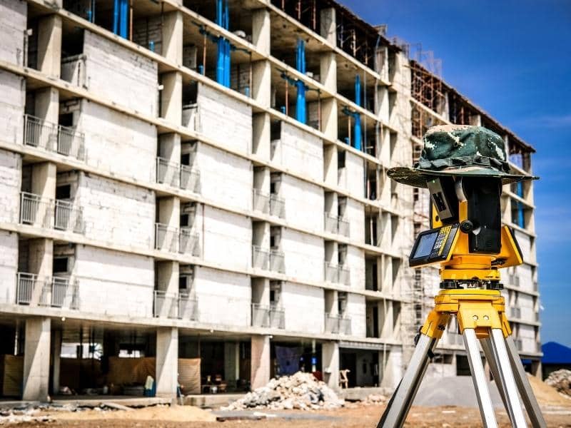
A community housing project turns raw or underused land into homes, streets, and shared spaces. That transformation only works when it starts from an accurate picture of the land. Boundaries, grades, and existing conditions all have to be measured before a single lot is drawn. Searching for land surveying companies near me is the right place to begin.
These projects are bigger and more detailed than a single-home build. You are creating new lots, laying out roads, and planning utilities and drainage for many households at once. A small error early can ripple across the whole site. Getting the survey right first keeps the entire development on track.
Survey Planning for Community Housing Development Sites
A housing development leans on survey work from the very first step. Before anyone designs a street or a lot, the team needs to know the true size and shape of the land. They need the boundaries, the terrain, the site grades, and what already sits on the site. That base drives every decision that follows. For a subdivision project, accurate survey information helps determine how the larger parcel can be divided into individual lots while meeting development requirements.
Community projects add layers a small build never faces. The land often gets divided into many new lots through a process called subdivision. New streets and blocks have to be laid out, and land is usually set aside as right-of-way for roads and utilities. A survey company maps the framework that all of this rests on.
Bringing a survey company in early pays off. They help confirm what the site can hold before the design gets far. They flag constraints like easements, wetlands, or drainage paths that shape the layout. Starting with that knowledge avoids expensive rework down the line.
Reviewing Boundaries and Existing Conditions Before Design
Boundaries come first on any housing site. A boundary survey begins with reviewing property records such as deeds, plats, and previous surveys before defining the exact property lines, corners, easements, and right-of-way tied to the land. On a large parcel headed for subdivision, those lines set the limit of what can be built and divided. Everything inside them depends on getting them right.
Existing conditions matter just as much. The survey records what is already on the site, including structures, pavement, tree lines, utilities, and access points. Older or previously used land can hold surprises like abandoned utilities or unclear old lines. Documenting all of it early keeps it from derailing the design.
Easements deserve special attention on these projects. An easement is a recorded right for someone else to use part of the land, often for utilities or drainage. New homes and streets have to work around them. A survey shows exactly where they fall so the layout respects them from the start.
Using Topographic Surveys for Housing Site Design
A topographic survey maps the site’s elevations, slopes, and drainage patterns. This is the data that shapes how a housing community is designed. Where the land rises and falls decides where roads can run and where homes can sit. Good design follows the real terrain.
Drainage is a central concern on any multi-home site. Adding streets, driveways, and roofs changes how water moves across the land. The topographic survey gives engineers the elevation data to plan stormwater systems and grading that handle that runoff. On flat or low-lying sites, small elevation differences carry real weight.
The survey supports lot-level decisions too. It helps set building pads, driveway grades, and how each home meets the street. It also feeds the road design, so streets connect smoothly across the whole development. Accurate elevations keep the site working as one connected plan.
Coordinating Survey Data With Construction and Permitting
Survey data ties the whole project team together. The survey company provides the base that engineers, planners, and architects design on. Everyone works from one set of boundaries, one set of elevations, and one reference system. That shared base prevents the mismatches that stall large projects.
Permitting relies heavily on this information. A community housing project usually goes through subdivision and site plan review, where officials check the plans against the real conditions and the rules. Accurate survey data helps the plans match what regulators expect. Requirements vary by municipality, county, and program, so confirm them early with the review office.
The survey company keeps working into construction. After approval, construction staking marks the roads, lot corners, utilities, and building locations on the ground. That field layout turns approved plans into an accurate build across the whole site. Using the same team through construction keeps the control consistent.
Reducing Development Risks With Professional Survey Support
Most risk on a housing project comes from what nobody measured early. A boundary that does not match the assumption. A drainage low spot missed in the layout. An easement discovered after the lots are drawn. Professional survey support brings these into view while the plan is still easy to change.
Accurate data keeps a large project moving. When the team builds from a reliable base, there are fewer redesigns, fewer change orders, and smoother reviews. That matters even more on a development with many lots and long timelines. The savings in avoided rework can be significant.
Timing is the piece to plan for. Order the survey early, before design begins, and keep the same company involved through permitting and construction. That way the whole project grows from real conditions. A licensed survey company can show you what the site supports, so a community housing project starts on solid ground.
Frequently Asked Questions
What surveys does a community housing project need?
Most projects start with a boundary survey and a topographic survey. As the land is divided, a subdivision or platting survey creates the new lots and streets. Construction staking follows once the design is approved. The exact mix depends on the site, the local rules, and the project scope.
What is a subdivision survey?
A subdivision survey divides a larger parcel into multiple new lots and lays out streets and blocks. It creates the legal framework for the new lots and the land set aside for roads and utilities. The result is usually recorded as a plat with the county. This is a core step in turning raw land into a housing community.
How do land survey companies support housing development?
They map the boundaries, elevations, and existing conditions the design team needs. They help lay out lots, streets, and right-of-way, and they coordinate with engineers and planners. During construction, they stake the roads, lots, and utilities in the field. They provide the accurate base the whole project relies on.
How do I choose a land survey company for a housing project?
Look for a company with experience on subdivisions and larger development sites. Ask how they handle platting, coordinate with engineers, and support permitting and construction staking. Clear records and good communication matter on long projects. Searching for land survey companies near me is a good start, then compare their development experience.
When should I hire a survey company for a housing development?
Hire one at the very start, before design work begins. Early survey data lets the team plan lots, roads, and drainage around real conditions. Keeping the same company through permitting and construction keeps the control consistent. Confirm timing early, since approvals and construction schedules depend on it.